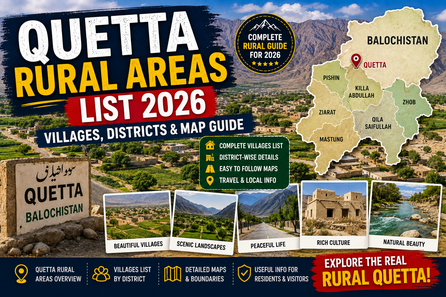
Quetta’s rural belt includes villages, killis, orchard settlements and sparsely populated localities around Panjpai, Hanna–Urak, Aghbarg, Baleli, Nohsar, Kuchlak’s outskirts and the wider Saddar and Sariab sides. There is no safe short list that captures every official rural locality. Boundaries also changed in July 2026 when the former Quetta District was split into Quetta East and Quetta West. Use this page as an orientation guide, then verify a property or address through the relevant revenue, local-government, census or postal authority.
Searches for a “Quetta rural areas list” often mix three different things: officially classified rural census localities, traditional village names, and neighbourhoods that were once rural but have become urban or peri-urban as Quetta expanded. That is why online lists frequently contradict one another.
This guide explains the difference and groups commonly recognised rural and outer-area names without pretending to replace a government revenue record. Spellings can vary between English, Urdu and Pashto transliterations, while one name may cover a village, patwar circle, union council or wider locality depending on the document.
PBS census blocks and rural localities are statistical units, not casual neighbourhood labels.
Mauza, patwar circle and tehsil records matter for land ownership and jurisdiction.
Residents may use a broad traditional name that crosses newer administrative boundaries.
Important 2026 update: Quetta East and Quetta West
On July 8, 2026, Balochistan’s Revenue Department notified a major administrative restructuring. Reporting on the notification states that the former Quetta District was divided along the railway line into Quetta East and Quetta West. The change means older census tables, maps, domicile references and online directories may still say simply “Quetta District.”
| New district | Sub-divisions reported in the 2026 notification | Practical implication |
|---|---|---|
| Quetta East | Saddar, City and Sariab | Many established city and southern/eastern outer areas now fall on this administrative side, subject to final boundary and patwar-circle implementation. |
| Quetta West | Kuchlak, Brewery and Panjpai | Kuchlak, Brewery and the extensive Panjpai side are administered under the new western district arrangement. |
Brewery was also reported as a new tehsil and sub-division, while Panjpai became a sub-division with headquarters at Panjpai. The Board of Revenue was tasked with realigning patwar circles. Because implementation can continue after a notification, do not infer a plot’s new district only from its proximity to the railway line.
Do not use an old list for legal paperwork
A 2017 or 2023 census classification remains useful historical data, but it cannot by itself confirm a 2026 district, tehsil, patwar circle, police station, postal delivery area or land jurisdiction. Ask the relevant office for the current record.

What counts as a rural area in Quetta?
The Pakistan Bureau of Statistics uses mapped rural and urban boundaries for census work. Its GIS programme explains that rural and urban block boundaries were digitised for the 2023 Digital Census using maps obtained from revenue and local-government departments and updated with local officials. A census block is designed for enumeration; it does not necessarily match a postal code, housing scheme or property dealer’s marketing boundary.
A mauza is a revenue-estate unit used in land administration. A patwar circle groups land records under revenue staff. A union council is a local-government unit. A killi is commonly understood as a village or settlement name in Balochistan and neighbouring regions. These labels can overlap, but they are not interchangeable.
“Peri-urban” describes the transition zone where agricultural land, orchards or villages meet expanding housing, roads, warehouses and commercial development. Kuchlak, Nawan Killi, Killi Shabo, Kirani, Kachi Baig and other outer areas may be called rural in older conversation, yet parts are densely built and can appear in urban administrative or census records.
Quetta rural areas and outer localities: grouped orientation list
The following names appear in historical census/revenue material or are commonly associated with Quetta’s rural and outer belt. This is not a complete statutory village register. Some names represent broad areas, while individual killis within them may have separate records.
Panjpai and Shorarud side
Panjpai is the clearest example of a predominantly rural, low-density part of the former Quetta District. Historical records group localities such as Chachezai, Mian Khanzai and Mohammad Khail within the wider Panjpai/Shorarud administrative area. Spellings and sub-locality boundaries vary. The landscape includes scattered settlements, grazing land, agriculture and long road distances.
Under the July 2026 arrangement, Panjpai is reported within Quetta West and was elevated as a sub-division. Anyone buying agricultural land should verify the exact mauza, khasra numbers, access road, water source and current revenue jurisdiction.
Hanna, Urak and surrounding settlements
Hanna and Urak are widely recognised names east of central Quetta. Their wider landscape includes orchards, villages, mountain foothills and visitor routes toward Hanna Lake and Urak Valley. An address described as “Hanna” may still need a more precise village, road and revenue identity.
Water availability and land use vary significantly. A green photograph taken in fruit season does not prove year-round irrigation. For a farm, orchard or farmhouse purchase, verify the legal water right and source instead of relying on a seller’s verbal promise.
Baleli, Nohsar, Kotwal and Kuchlak outskirts
Baleli, Nohsar (also written Nau-Hisar/Nohsar), Kotwal and the rural outskirts around Kuchlak appear in older administrative references. Kuchlak itself is now a large and heavily developed settlement; it should not be described as one uniformly rural village.
Growth along highways can change land use quickly. One side of a road may contain shops, housing and utilities while nearby killis remain agricultural or sparsely populated. Confirm whether a location is inside a municipal, metropolitan or rural local-government limit before assessing taxes and services.
Aghbarg and Zarghoon-side settlements
Aghbarg is commonly associated with Quetta’s outer eastern/northeastern valley and village landscape. The broader Zarghoon side contains settlements, orchards and routes toward mountain areas. Names such as Zarkhu/Zarghoon can describe different scales of place, from a wider region to a particular revenue or residential locality.
Winter roads, drainage and distance from emergency services can matter more than straight-line distance to central Quetta. A property viewing should include the actual route at the time of day and season when residents will use it.
Kachi Baig, Kirani, Sariab and Hazar Ganji side
Kachi Baig, Kirani, Sariab, Hazar Ganji and nearby killis have strong historical links with Quetta’s outer and agricultural belt. Today, extensive sections are urban or peri-urban, with housing, markets, transport yards and industry alongside older settlements.
Do not label every address in these areas “rural Quetta.” Use the exact current classification required by the task—census, revenue, police, municipal, utility or postal—because each agency may organise service areas differently.
Killi Shabo, Killi Ismail, Killi Gul Muhammad and nearby killis
Names beginning with Killi preserve the identity of older settlements even where city development has reached them. Killi Shabo, Killi Ismail, Killi Gul Muhammad and many other killis are important local address names, but the word “killi” alone does not prove that the present census classification is rural.
For courier delivery or an emergency response, include a recognised road, landmark, union council or phone pin alongside the village name. Similar names may exist in more than one district or have multiple English spellings.

How to verify a Quetta rural address
- Define the purpose. A domicile, land transfer, electricity connection, courier delivery and census form may require different jurisdictions.
- Collect the complete local name. Record the killi, mauza, patwar circle, tehsil/sub-division, district and nearest established landmark.
- Check the current district. Ask whether the record falls under Quetta East or Quetta West after the 2026 restructuring.
- Use the responsible authority. Land questions go to revenue authorities; census classifications to PBS; postal codes to Pakistan Post; local-government boundaries to the relevant council or metropolitan office.
- Keep written evidence. Obtain a certified copy, official letter, portal result or receipt when the classification affects money or legal rights.
A Google Maps pin can help a visitor reach a gate, but it does not establish title, jurisdiction or a postal code. Likewise, a utility bill can support an address but may not prove ownership of the land.
Buying plots, agricultural land or a farmhouse
Commercial searches such as “rural land for sale in Quetta,” “farmhouse near Quetta,” “orchard for sale in Urak” or “cheap plots in Kuchlak” involve substantial financial risk. Do not let a low per-acre or per-square-foot price replace legal verification.
| Check | What to request | Why it matters |
|---|---|---|
| Ownership | Current revenue record, seller identity, mutation history and certified documents | A sale agreement cannot cure defective or disputed ownership. |
| Exact land | Mauza, khasra numbers, boundaries, measured access and site demarcation | A buyer must know which physical parcel the papers describe. |
| Approvals | Planning status, scheme NOC where applicable and permitted land use | Marketing a “housing scheme” does not prove lawful approval. |
| Water | Legal source, bore condition, electricity requirement and seasonal yield | Orchard and residential value can depend heavily on reliable water. |
| Access | Recorded right of way and all-weather road condition | A visible track through another owner’s land may not be a legal access. |
| Utilities and hazards | Written connection feasibility, drainage, flood path and winter access | Nearby poles or pipes do not guarantee a lawful connection. |
Use an independent lawyer and qualified surveyor rather than relying solely on the property dealer who earns from the transaction. Shalkot does not verify listings, agents, land titles or housing schemes and does not recommend sending booking money based on an online advertisement.
A safer quotation request
When asking a property agent for a price, request the exact mauza and khasra details, total measured area, ownership document type, access status, development charges and transfer costs. This filters vague listings before you travel to the site.
Schools, healthcare, roads, internet and utilities
Services can vary between neighbouring settlements. A village near a major highway may have mobile coverage and transport but limited piped water or sewerage. A scenic orchard area may be farther from schools, clinics, mechanics and winter road clearance than a map suggests.
Education and health
Ask for the exact name and current operating status of nearby government and private schools. For healthcare, identify the nearest functioning basic health unit, hospital and 24-hour emergency option. “Hospital nearby” in an advertisement may mean a considerable drive.
Roads and public transport
Test the route during normal traffic and after poor weather when possible. Ask residents about shared vans, buses and the last practical return time. A daily Quetta car rental with driver may be useful for a site survey, but agree on fuel, waiting, distance and road suitability before departure.
Electricity, gas, water and internet
Request account-specific information from each utility. Electricity availability does not guarantee a new connection or adequate transformer capacity. Natural gas coverage can be limited, while mobile internet strength changes by network, handset and exact position. Test service at the property rather than accepting a coverage-map claim.
Visiting villages and rural landscapes responsibly
Rural Quetta is home, farmland and working landscape—not an open tourist set. Ask permission before entering orchards, compounds or photographing people. Dress respectfully, avoid blocking narrow roads, keep noise low and carry out litter.
Check current weather through the Pakistan Meteorological Department. Snow, rain, flash flooding, dust and extreme cold can affect outer roads. For a remote trip, use a locally knowledgeable driver, travel in daylight, share the route and do not assume mobile coverage.
Foreign visitors should check their national travel advisory and insurance terms before planning travel in Balochistan. Several governments currently advise against travel to the province because of serious security risks. Pakistani travellers should follow current district administration, police and road-authority directions.

Frequently asked questions
How many rural areas are there in Quetta?
There is no single dependable short number for everyday use. PBS counts rural localities and blocks within specific census boundaries, while revenue and local-government systems use different units. The 2026 split also changed district administration.
Is Kuchlak a rural area?
Kuchlak includes a large developed settlement and surrounding outer localities. It should not be labelled uniformly rural. Check the exact census, municipal or revenue classification needed for a particular address.
Is Hanna a village or tourist area?
Hanna is a locality and wider valley area associated with settlements, rural land and the route to Hanna Lake. A tourism label does not replace its administrative and revenue identities.
Are Nawan Killi and Killi Shabo rural?
Their names reflect older settlement identities, but substantial urban development has reached many such areas. Current status can differ by block and agency.
Which rural areas are in Quetta West?
The 2026 restructuring places Kuchlak, Brewery and Panjpai sub-divisions in Quetta West. Exact village and patwar-circle assignments should be confirmed from current official records.
How can I check a village postal code?
Use Pakistan Post’s current directory or ask the serving post office. Do not assume every village uses central Quetta’s 87300 code.
Can I verify land ownership online?
An online entry may help, but high-value rural land requires current certified revenue records, identity verification, physical demarcation and independent legal review.
Related Shalkot guides
Bottom line
Quetta’s rural landscape cannot be reduced to a neat list copied from an old directory. Panjpai, Hanna–Urak, Aghbarg, Baleli, Nohsar, Kuchlak’s outskirts and the Sariab–Hazar Ganji transition contain many recognised settlements, but their official classification depends on the document and date.
Use the names here to orient your research. For property, domicile, census, utility or postal decisions, obtain the exact current record—especially after the 2026 creation of Quetta East and Quetta West.
Authoritative and current sources
- Pakistan Bureau of Statistics — 2023 Census tables and definitions
- Pakistan Bureau of Statistics GIS — rural and urban census mapping
- Trade Development Authority of Pakistan — Quetta district profile
- Dawn — July 2026 Quetta East/West restructuring report based on Revenue Department notification
- Pakistan Meteorological Department — forecasts and warnings